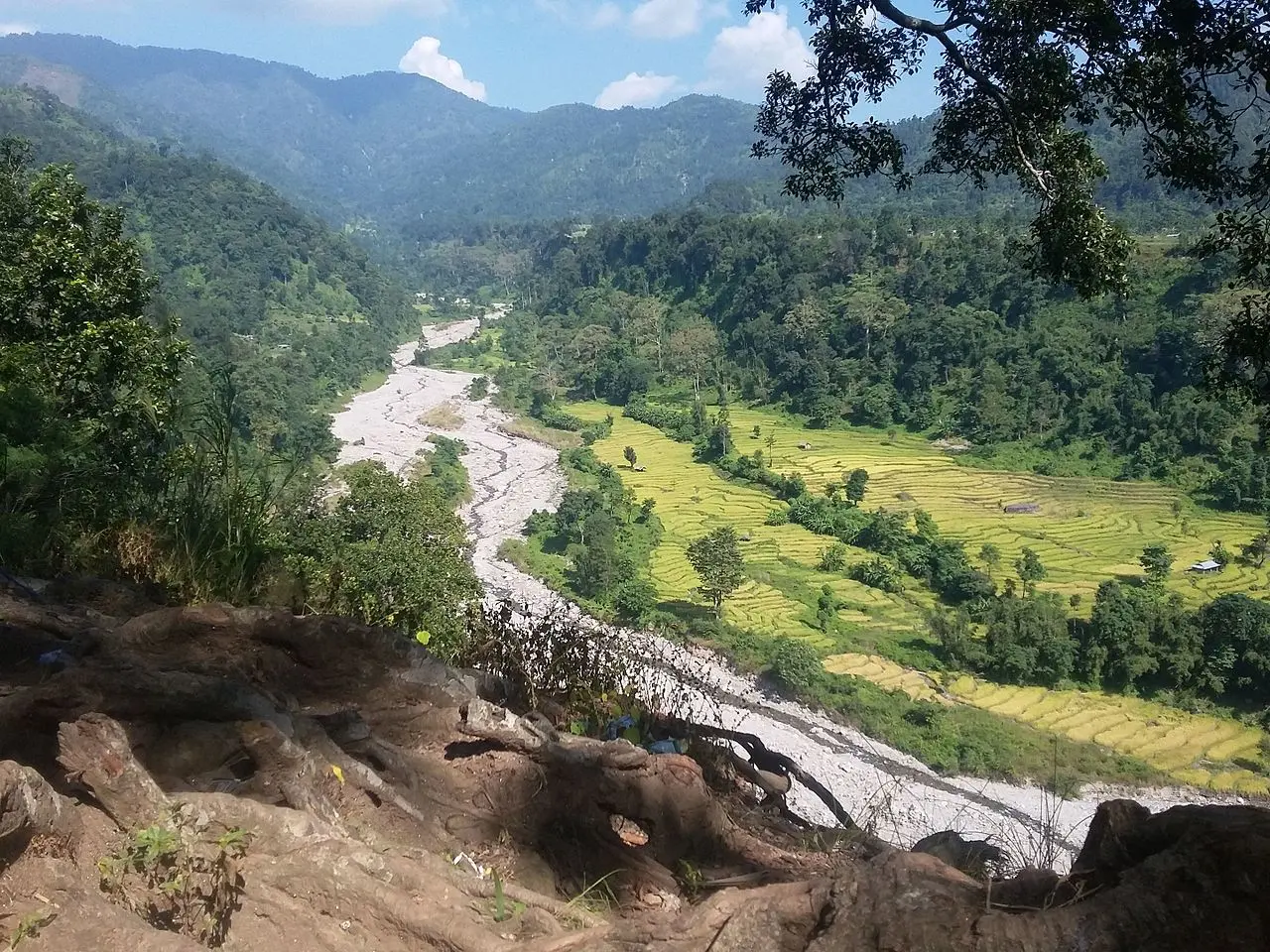
Overview of Jhapa
Jhapa is Nepal’s easternmost district, located in the rich Terai plains. It is located in the Outer Terai. It shares boundaries with Ilam to the north, Morang to the west, the Indian state of Bihar to the south, and West Bengal to the southeast and east. It has a land area of 1,606 km2 and is located in 87°39′ east to 88°12′ east longitude and 26°20′ north to 26°50′ north latitude.
In this blog
Municipalities in Jhapa
- Arjundhara Municipality
- Bhadrapur Municipality
- Mechinagar Municipality
- Birtamod Municipality
- Shivasatakshi Municipality
- Kankai Municipality
- Damak Municipality
- Gauradaha Municipality
You may also like Top 10 things to do in Hetauda 2023
Cultural Heritage
Historic Sites in Jhapa
Biratpokhar is a Jhapa historical tourism site. There are seven different-sized ponds here. According to legend, these ponds have existed since the time of the Mahabharata. According to mythology, King Birat would come here to satisfy his thirst.
Ethnic Group
Bahun and Chhetri are the two main ethnic groups in district. Other communities include the Janajati Limbu and other Kirati peoples, Dalit communities such as Kami and Damai, Tamang, Newar, and Magar, and Adivasi tribes in the Terai such as the Rajbanshi/Tajpuriya, Gangai or Ganesh, Santal, and Dhimal.
Language spoken
| S.N | Language | Speakers | % |
|---|---|---|---|
| 1 | Nepali | 453,536 | 55.82% |
| 2 | Rajbanshi/Tajpuria | 95,331 | 11.73% |
| 3 | Limbu | 45,484 | 5.60% |
| 4 | Maithili | 45,038 | 5.54% |
| 5 | Santali | 29,464 | 3.63% |
| 6 | Rai | 20,665 | 2.54% |
| 7 | Urdu | 19,796 | 2.44% |
| 8 | Tamang | 17,218 | 2.12% |
| 9 | Newari | 11,992 | 1.48% |
| 10 | Magar | 10,203 | 1.26% |
| 11 | Dhimal | 8,123 | 1.0% |
Places to visit
Jamunkhadi Wetland
Over 5,000 domestic visitors visit Jamunkhadi every day. This marsh is popular among the residents and those living nearby as a picnic site. The marsh is home to a variety of animals, including deer, leopards, porcupines, and pangolins. A leisurely boat trip on Jamunkhadi Lake will provide you with a glimpse of the wildlife’s native home.

Krishna thumki
Krishna thumki is shrouded in fascinating mythology. Locals tell stories about Lord Krishna grazing his cows here, which have been passed down through centuries. According to local Kamal Nepali, the location was named after a hill where Krishna used to graze his cows. In the Darjeeling district of West Bengal, India, Krishna thumki provides an excellent vantage point for viewing Mirik and Kurseong. Krishna thumki is surrounded by five additional hills. Pandav thumki refers to the combination of these summits.
Arjundhara Dham
This location is known as the eastern Pashupatinath. According to chairman of the Dham, regular visitors to the Dham come from Darjeeling, Sikkim, and north-east India. Pashupatinath in Kathmandu is too far away for us and also too expensive to visit; thus, Arjundhara Dham replaces Pashupatinath. Arjundhara is located 29 kilometers north of Bhadrapur Airport.


Kichakavadhh
Kichakavadh, located 10 kilometers from Bhadrapur Airport, is another popular tourist site in the district with religious and historical significance. According to mythology, the Kichakavadh region contains prominent ponds, temples, and sculptures of many gods and goddesses. Kichak, a monster, was killed here. That is why this location is known as Kichakavadh.

Satakshi Dham
Satakshi Dham is commonly referred to as the “second Janakpur Dham.” This devotional location comes alive the most during the Hindu holiday of Bala Chaturdashi, when people pay tribute to family members and relatives who perished the previous year. Ponds, landscape gardening, and caves – Pandav Bagaicha, Pandav Yagyakunda, Draupadi Talau, and Parbati Gufa—can be discovered at the location. Satakshi Dham is located in the Shivasatakshi Municipality, 38 kilometers northwest of Bhadrapur Airport in Chandragadi.

FAQ
-
What is Jhapa famous for?
It is famous for temples, as there are many famous temples situated in this area.
-
Where is Jhapa located?
Jhapa is Nepal’s easternmost district, located in the rich Terai plains. It is located in the Outer Terai.
-
How many famous temples are there in Jhapa?
There are four popular temples in Jhapa.
-
Is there an airport in Jhapa?
Chandragadi Airport, which is also known as Bhadrapur Airport, is a domestic airport located in Jhapa.
-
What is the postal code of Jhapa?
57200 is postal code of Jhapa where as 57204 is the postal code of Birtamode and 57207 is postal code of Dhulbari.
-
What is the temperature of Jhapa?
The highest temperature ever recorded was 42°C and lowest was below 20°C. The average temperature is 30.04°C.